Managing Outdoor Worksites

When looking at business, the bottom line is to increase efficiency in order to maximise ROI.
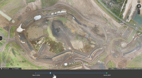
Implementing drones surveys into your business model can dramatically increase the amount of useful data you have at your disposal in order to make better decisions.
Matching survey frequency with site changes, collecting real-time data allows the power to improve management of worksite activities, increasing efficiency and reducing costs.
Surveying is generally associated with high costs and a large amount of time required. Your traditional surveyor will have to spend hours or even days collecting data from around the site, manually measuring and recording locations. They then have to process all that data into a usable format which can then be delivered to the client.
A drone on the other hand can fly a site in as little as 15 minutes (depending on site size) and the processed data is typically available within 24 hours. In just a single day your site can be mapped and the data processed and delivered.
This huge improvement in turnaround time allows surveys to become a pivotal part of business operations. The time savings aren't the only factor to consider, drone surveys also provide a significant improvement in safety on site. Although the operator will be on site, they can stay well away from hazardous or high traffic areas. Less personnel moving around on site also means a reduction of possible downtime and interruptions.
Collecting regular maps and models will help to improve a number of common workflows;
Stockpile measurements

Stockpile measurements for inventory usually involves a person walking the piles to gather data points which are then used to build a low quality model of the pile from which estimate are taken. With personnel on site production would have to be halted for safety.
Using drone imagery to capture this data allows much higher accuracy to be captured while also allowing production to continue. A drone based volume calculation typically has a accuracy error of under 3%. In order to get the same level of accuracy from manual surveying, a much larger number of points than usual would have to be gathered increasing time required on site leading to further downtime.
Having a small margin of error also allows comparisons to be made between volume measurements taken at different times to see how much material has been either taken away or added.
"As is" vs "As Planned"
An integral part of ensuring project management and cost saving is ensuring that the construction is staying on track and on time. The ability to view a model of the site as it currently is and comparing that to the final design model allows site managers to see how construction is progressing and if there are any areas of the project that are running off track. Finding problems such as incorrect earthworks early can mean the difference between a several hours work or several weeks.
Managing Sub-contractors
Frequent drone flights help maintain accurate records of sub-contracting work. Regular flights also save on site visits improving efficiency by eliminating travel time and personnel costs.
Whether its keeping sub-contractors on track or authenticating proof of work completed, up to date drone imagery provides all stakeholders insights into work progress.
Increase ROI
The time and costs of traditional surveying prevents businesses surveying as often as they should. Sites change weekly or even daily and keeping up to date quickly becomes a challenge.
Drone surveying and mapping is changing the way we think about site monitoring and workflow. Frequent flights can help you spot problems not visible from the ground or inaccessible areas of work sites such as open pits.


